


Ring 1

Villages Trail
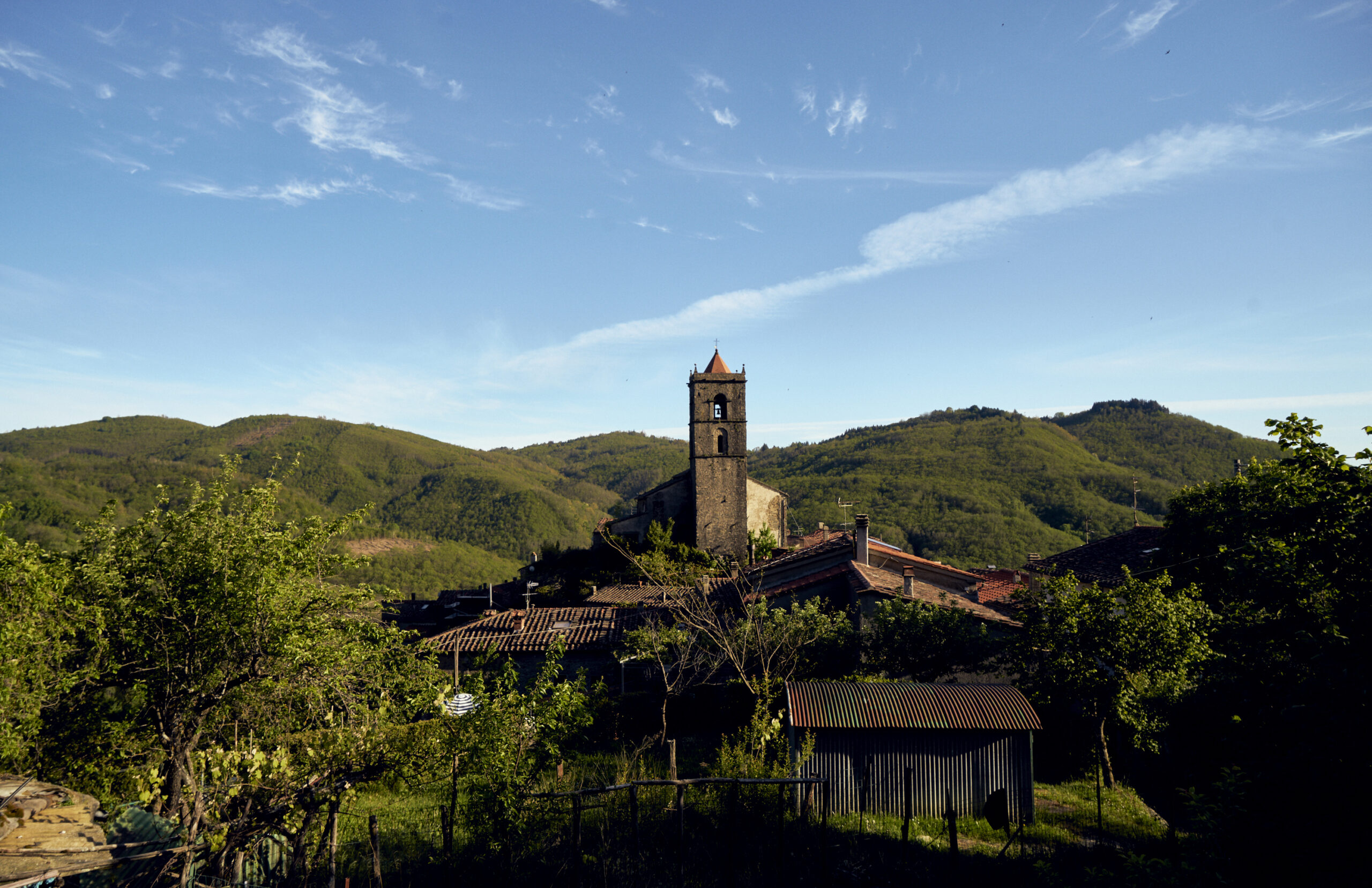
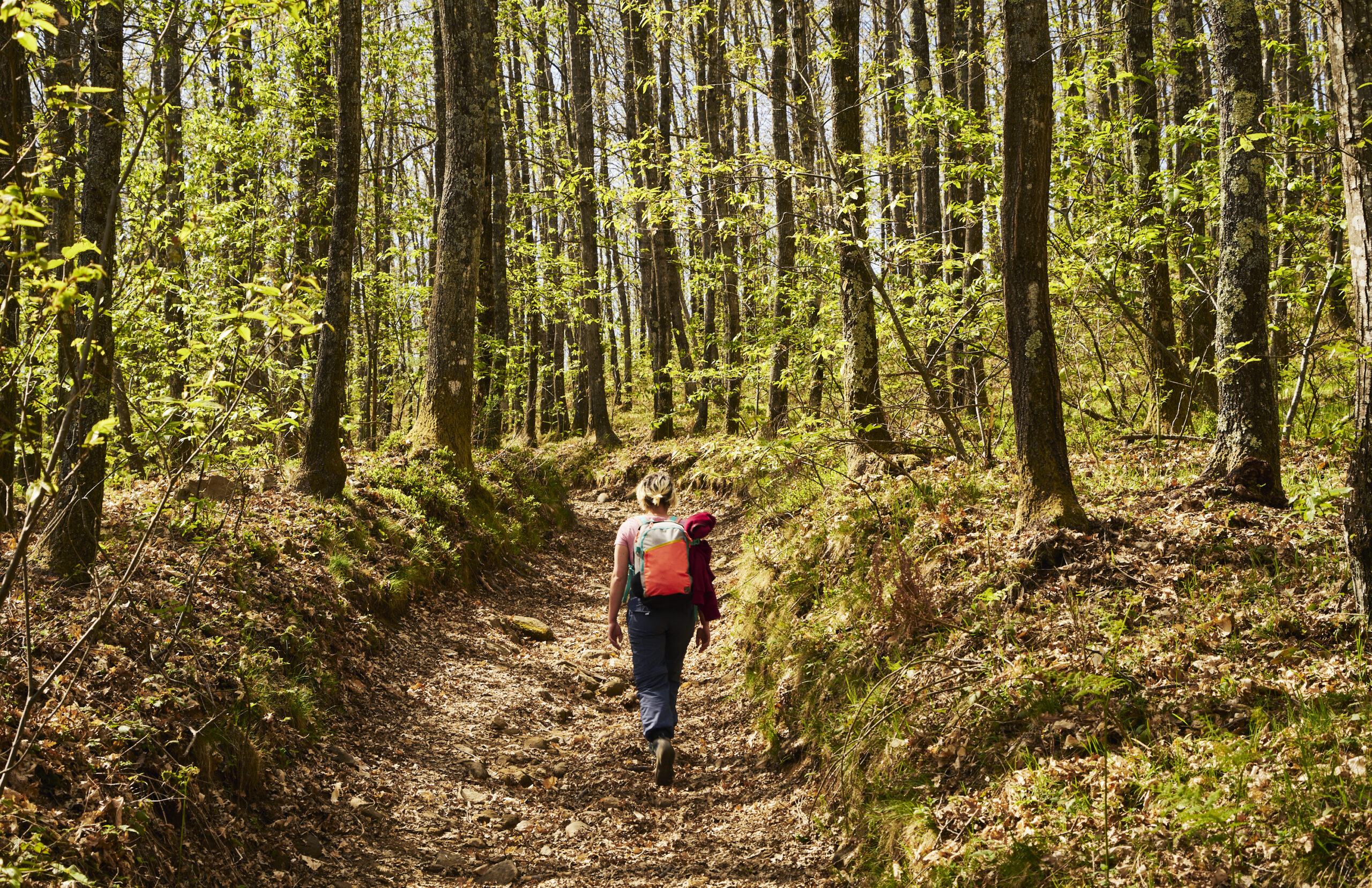
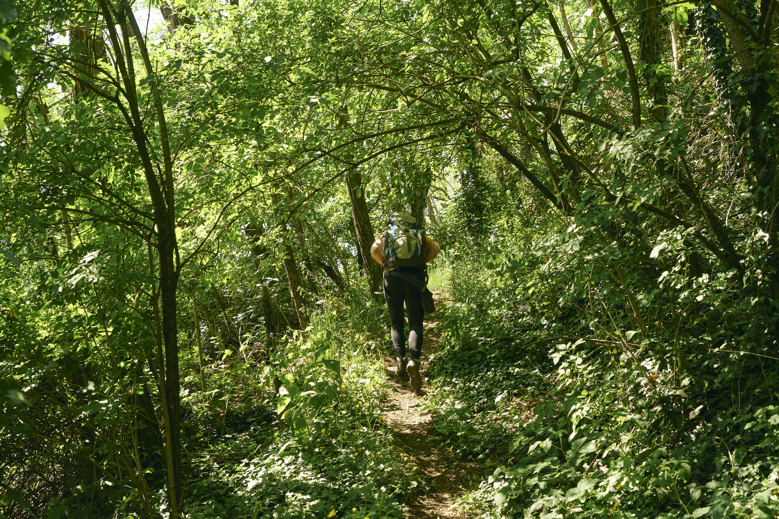
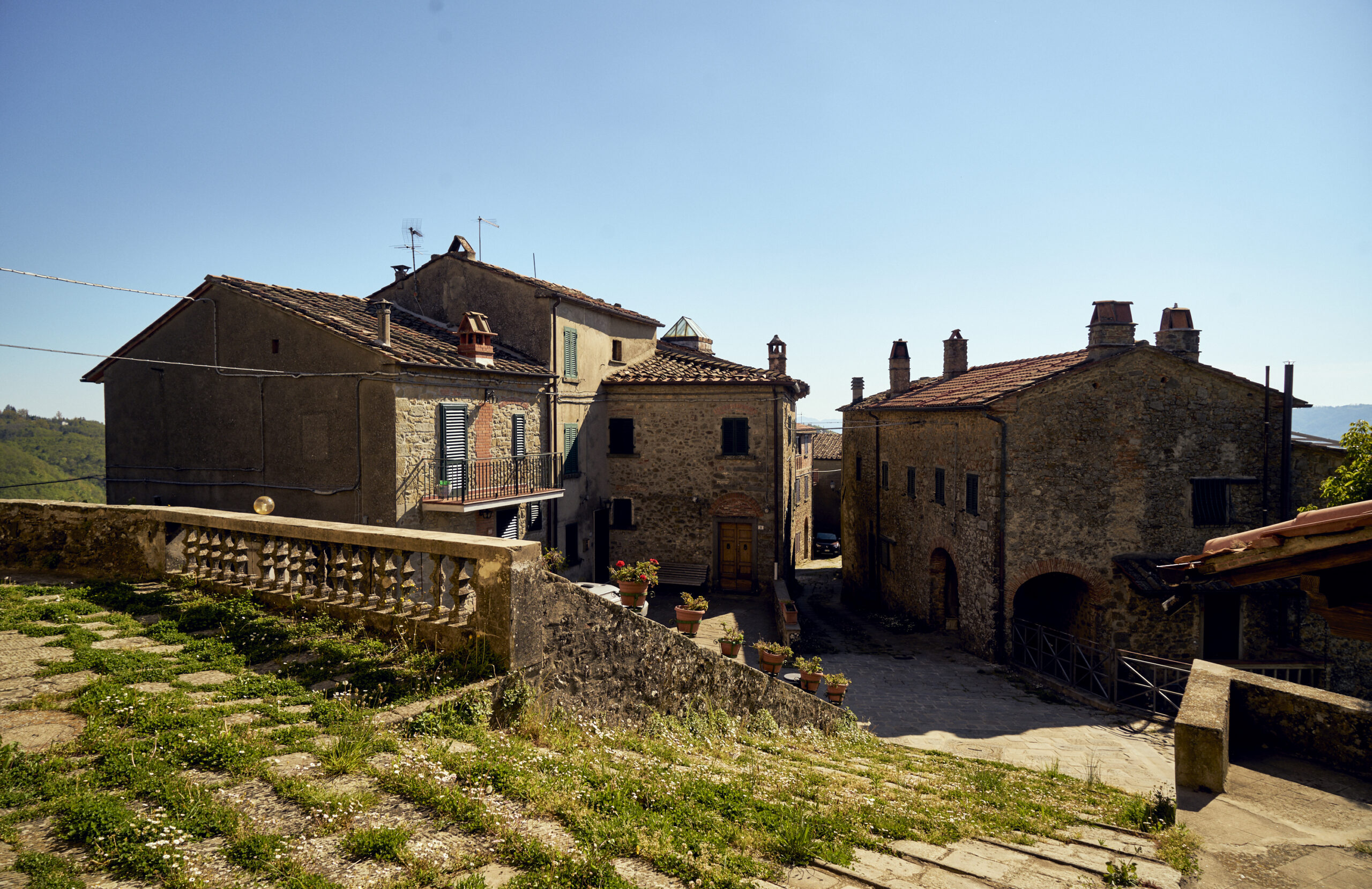
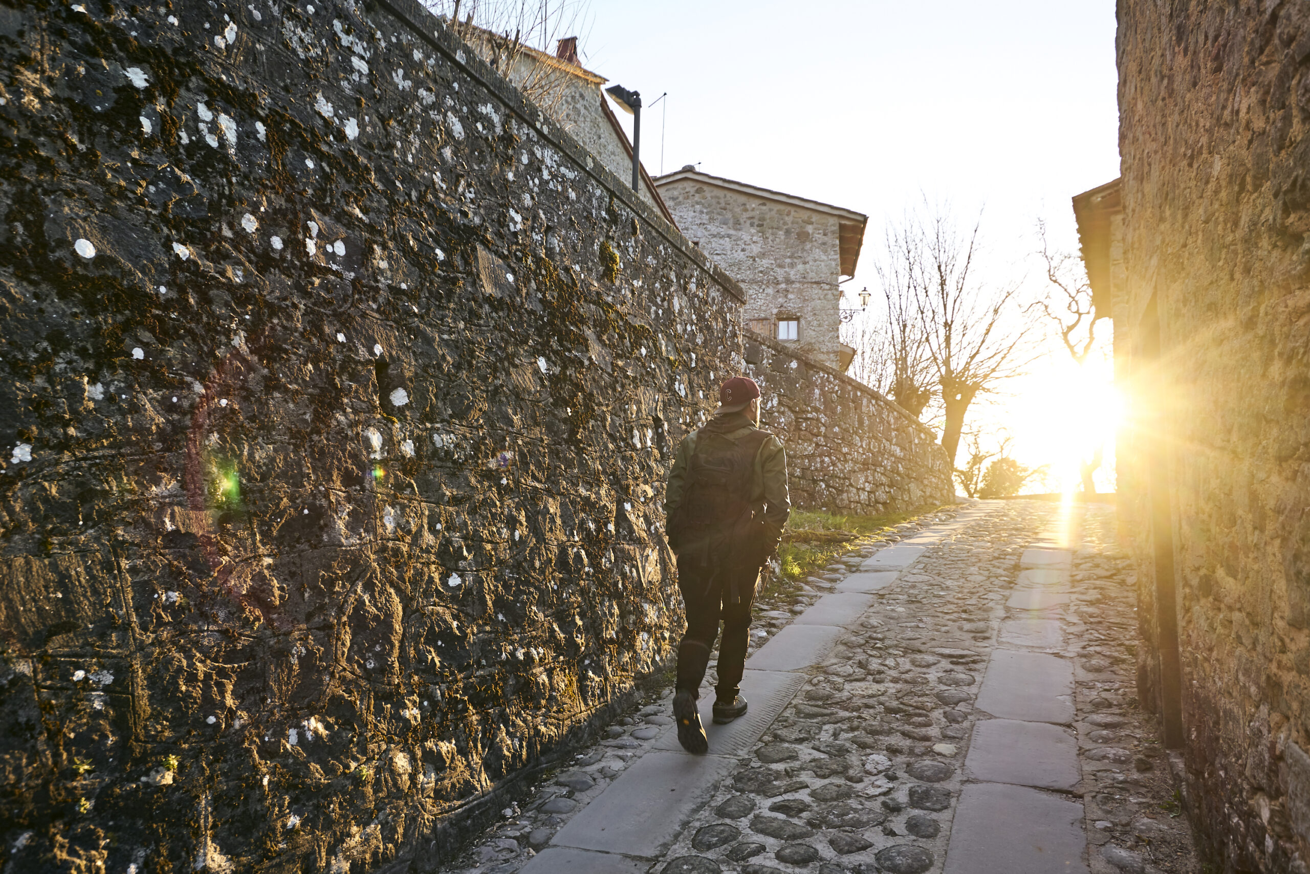
This trail unites the most characteristic villages in the upper part of the Marliana area. A challenging and unique hiking trail where stone, forest and water are the real protagonists. It passes through the typical Tuscan stone villages of Momigno, Calamecca and Serra, the wonderful forest of Macchia Antonini. With the constant presence of water: that of the Macchia lake to the small streams scattered along the way.
RouteRing 1Conveyancewalking Km totali19,1Travel time4.40 clockwise 4 counterclockwiseDifference in altitude1100 Mt - 1150mt; maximum elevation 525mtSoilMixed asphalt 20%; unpaved 60%; trail 20%.Environment and culture- Momigno: the village, the church of San Donato and the old mill - Macchia Antonini: the forest, the artificial lake and the Antonini chapel - Serra Pistoiese: the village and the church of San Leonardo - Calamecca: the village and the church of San MiniatoIntegrations and links- Connection with rings 2, 3, 5 - Possible high loop Mte Bersana - Connection north to Prunetta - West connection toward Swiss Pesciatina
For a correct display of the routes first download Google Earth Pro for free for Smartphone, PC, MAC (or GPX viewer for iOS and Android)