


Ring 2

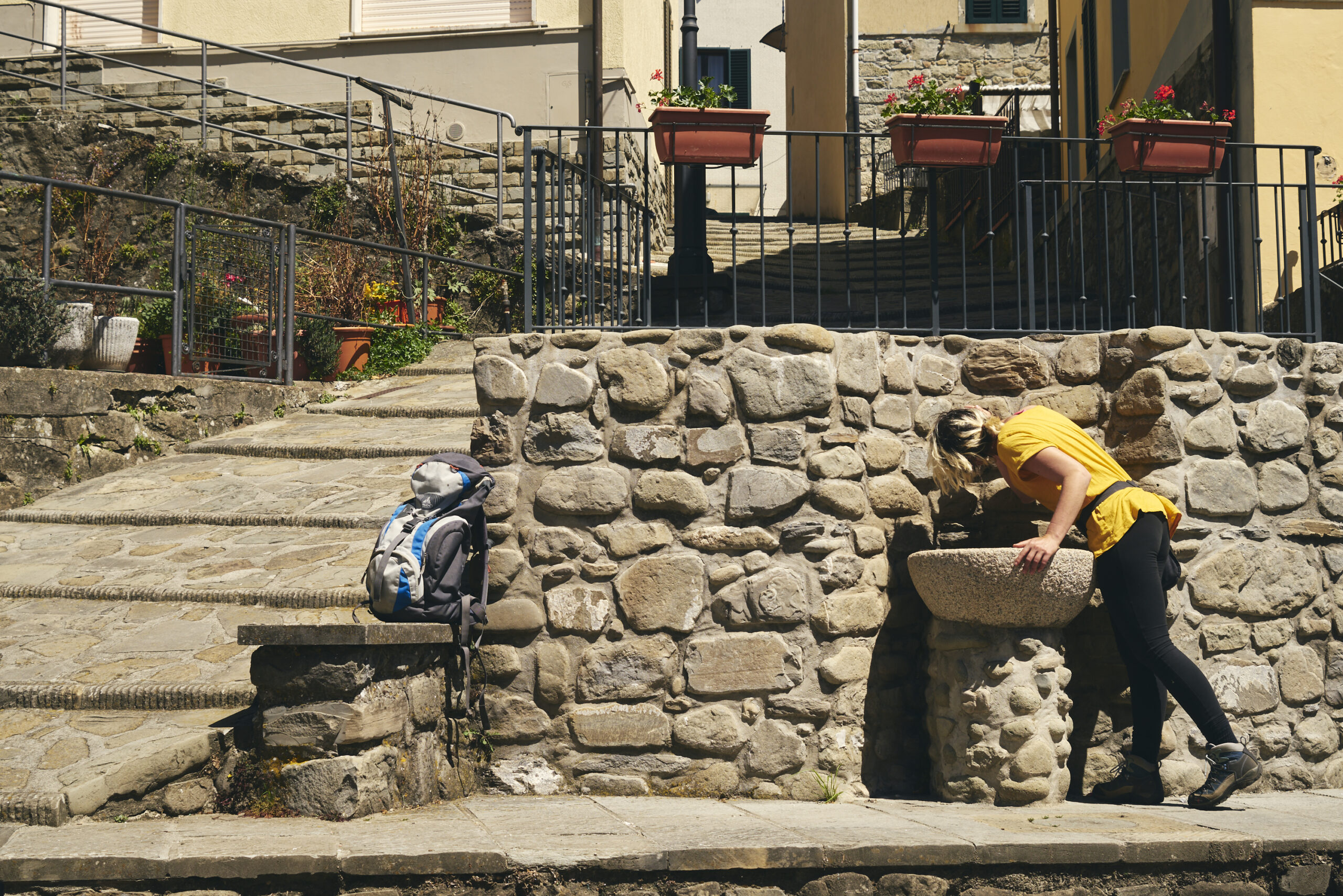
Stone Trail
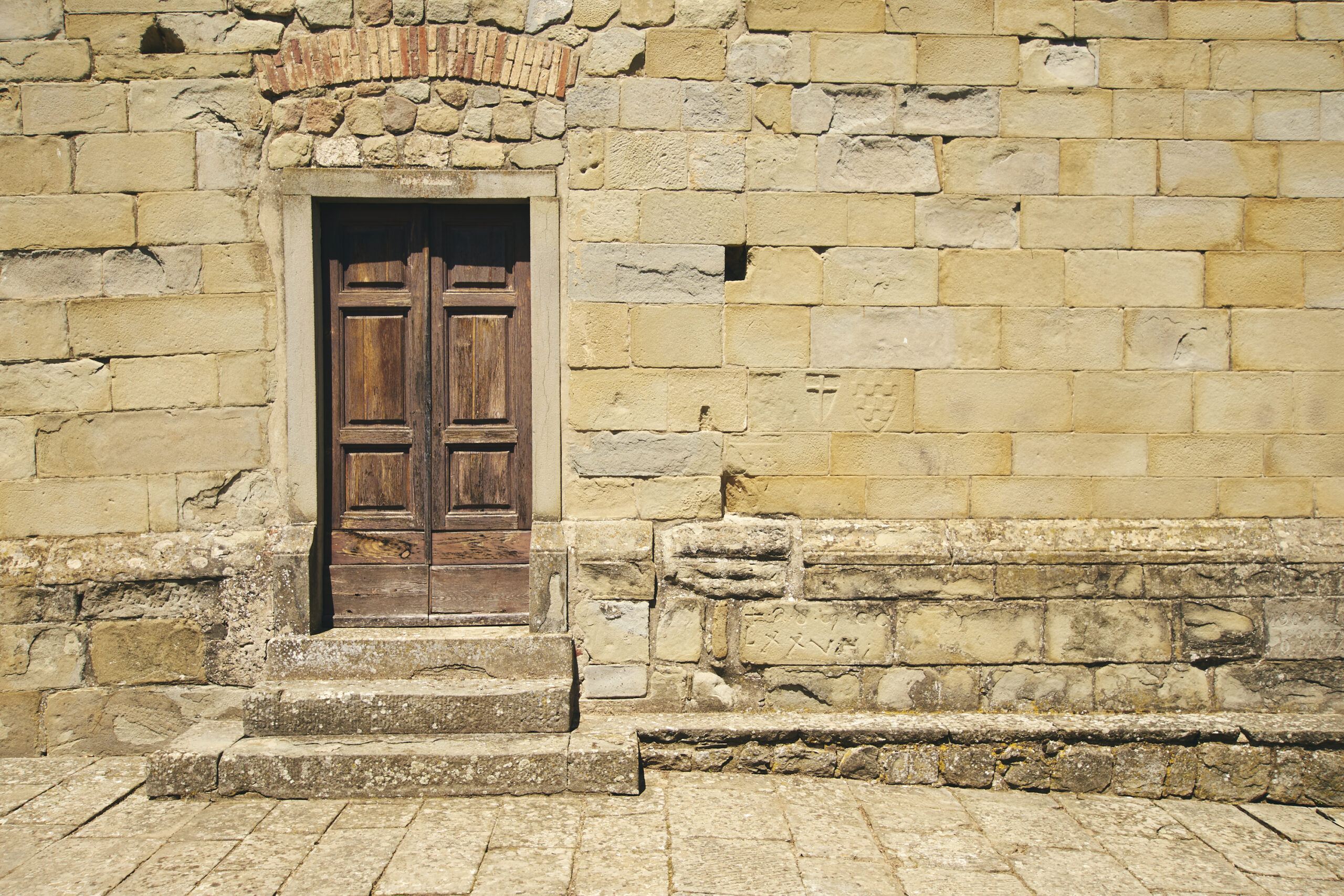
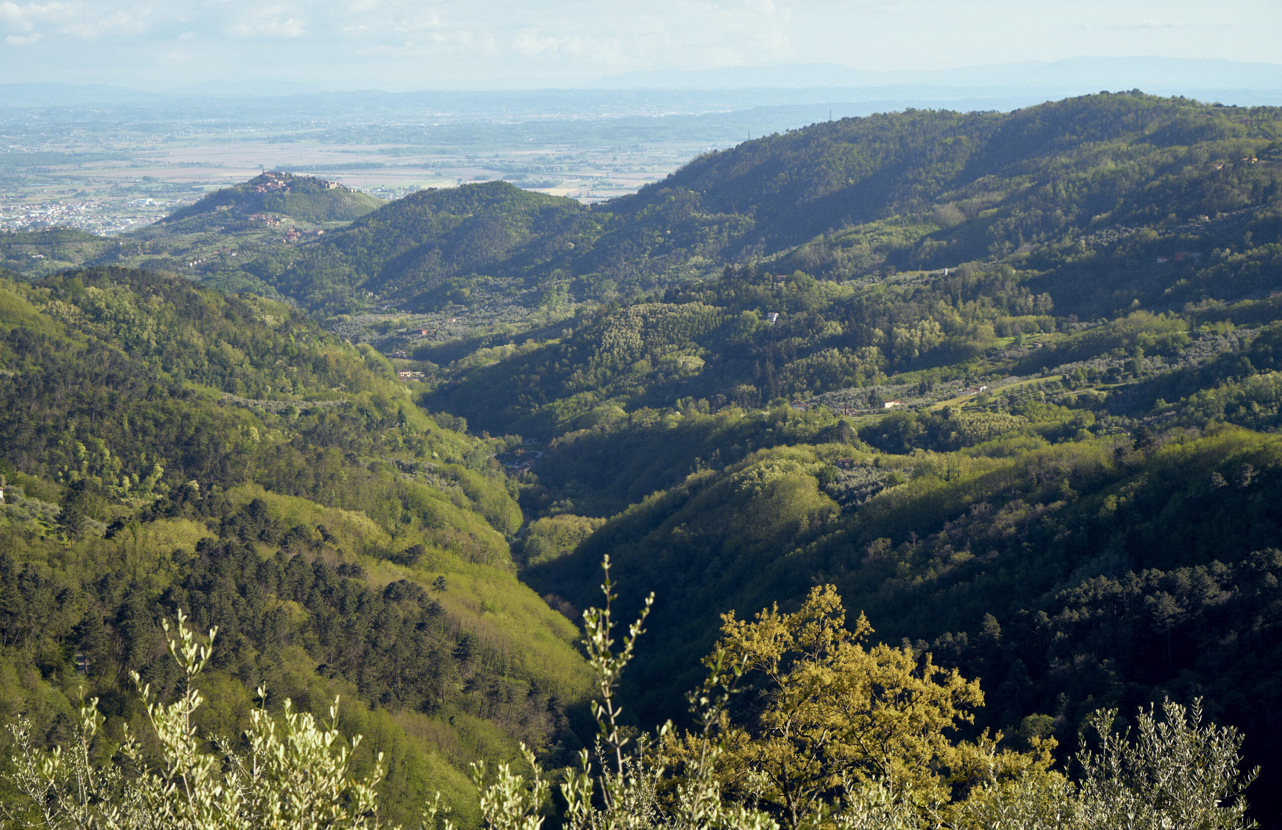
A family-friendly path that can be walked or biked. The trail is characterized by a gentle Mediterranean landscape. It passes through lush countryside and an acacia forest in the Momigno, Capiglione and Avaglio sections. At Panicagliora, on the other hand, you enter a wonderful chestnut forest. This route holds one of the most fascinating stops in the area: the ancient Pieve di Sant’Andrea di Furfalo.
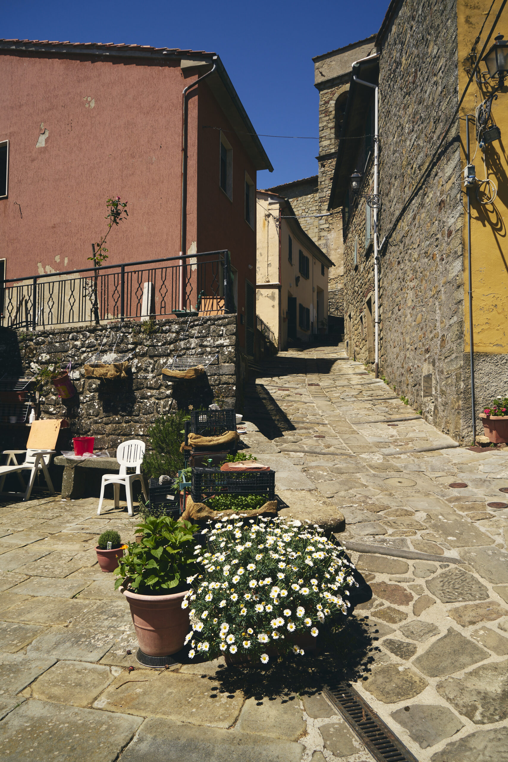
RouteRing 2Conveyancewalking Km totali18,73Travel time3.30 hrs.Difference in altitude903mt maximum elevation - 542mt minimum elevationSoilMixed asphalt 20%; unpaved 70%; trail 10%.Environment and culture- Momigno: the village, the church of San Donato and the old mill - Serra Pistoiese: the village and the church of San Leonardo - Panoramic point - Furfalo parish church - Avaglio: the village and the church of San Michele Arcangelo and the ancient metatoIntegrations and links- Link with loops 1, 3, 4, 6 - West connection to the Swiss Pesciatina
For a correct display of the routes first download Google Earth Pro for free for Smartphone, PC, MAC (or GPX viewer for iOS and Android)